
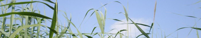
Ecological conditions
The northern Upper Rhine is characterised by a subcontinental warm and dry climate with an annual average of temperature of 10 - 11° C and an anual average precipitation of 550 mm. Most important is an extreme change of water conditions with more or less regular inundation (usually in the winter half year, but sometimes, as the flood in June 2013 proved, nature doesn´t follow the rules) followed by warm and dry periods in the summer half. Thus the watertable might fluctuate up to 7 m between the lowest and the highest level. This effects the groundwatertable, too, of course. Even in 1.700 m distance from the rhine the fluctuation of the groundwatertable amounts up to nearly 4 m and in 4.300 m distance it´s still 1,5 m. The following pictures show how extremely different the water conditions on the floodplain meadows along the northern Upper Rhine can be:
")
")


In interaction with a non-intensive agricultural management this leads to a highly specific combination of species. In the project area along the northern Upper Rhine there are species- and individual-rich remnant stands of floodplain meadows, belonging to alliances Cnidion and Molinion, both protected by the Flora-Fauna-Habitat directive of the EU. In Central Europe Cnidion-meadows are one of the most threatened plant communities. Furthermore, many typical species reach in the study area the north-western limits of their distribution (e.g.: Allium angulosum, Cnidium dubium, Scutellaria hastifolia, Viola pumila).
Below you will find pictures of some of the target species that occur on these meadows:
")
")
 with Western Marbled White")
")
")
")
")
")
")
")
 and dyer´s broom (Genista tinctoria)")
")

")
 and northern bedstraw (Galium boreale)")
")
")
")
")
")